Remote Sensing
Change Dection Near West Liberty Airport
Overview
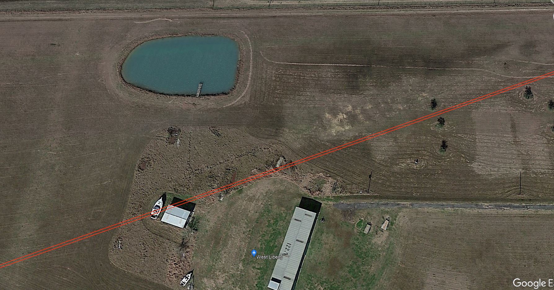
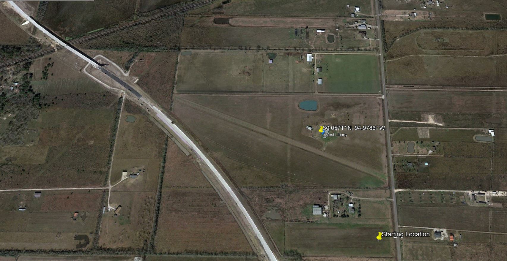
CHANGE DETECTION NEAR WEST LIBERTY AIRPORT IN LIBERTY COUNTY, TEXAS
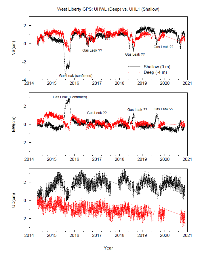
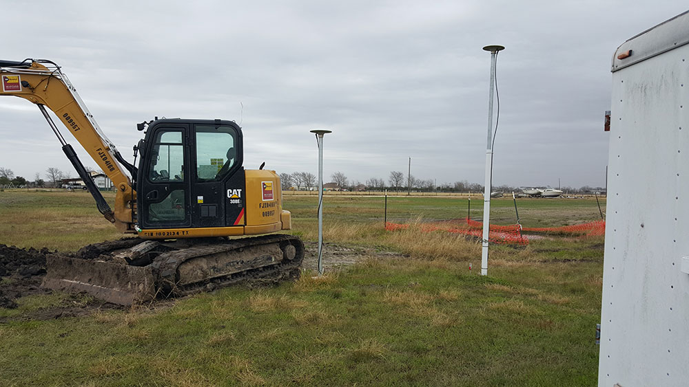
In the spring of 2014 two GPS stations were installed at West Liberty Airport in Liberty County. The two station collected GPS data over the span of approximately 7 years. There are several jumps in the data which are unexplained. Using remote sensing, the goal is to use change detection over time in an attempt to solve the land movement jumps we see in the GPS data.
Approach
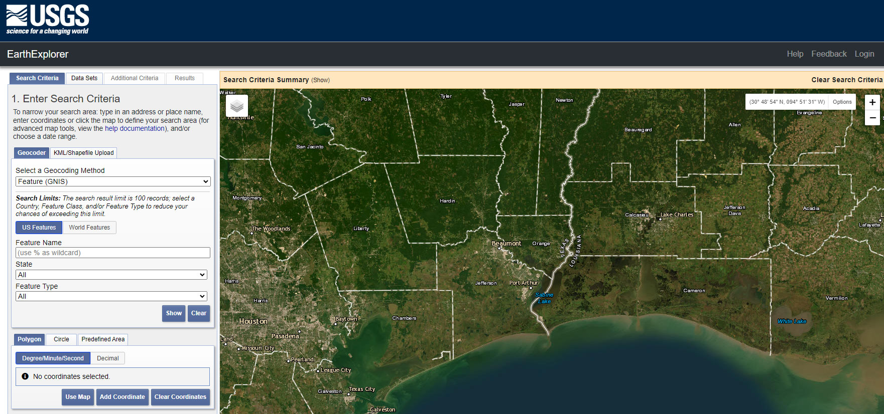
Use Landsat 8 satellite data from USGS from 2014 to 2021.
- Bulk download in Earth Explorer of various dates.
- USGS - Earth Explorer
Images
Sunoco Outter City Pipeline
Sunoco Pipeline
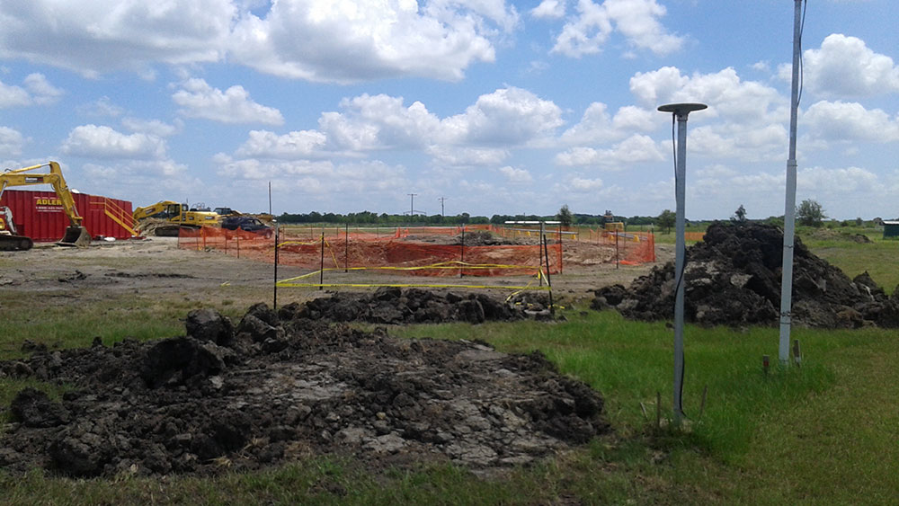
Pipeline Repair
Sunoco Repair
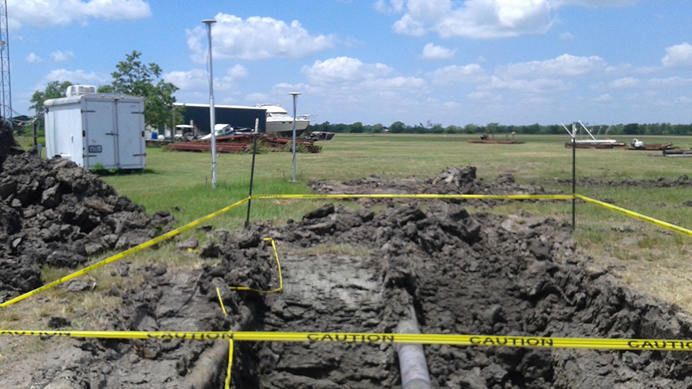
Sunoco Repair
January, 2022
Results
Coming Soon!